


Boasting a variety of sun, sea and mountains, not to mention amazing art, history, culture, food and wine, it’s no wonder you might be planning a visit to France! If you’re looking for inspiration and help planning your trip, the Lonely Planet France Planning Map is a great place to start. Full of useful images and information about top attractions, itinerary suggestions, a transport guide and practical travel tip, this map will help you plan the adventure of a lifetime!
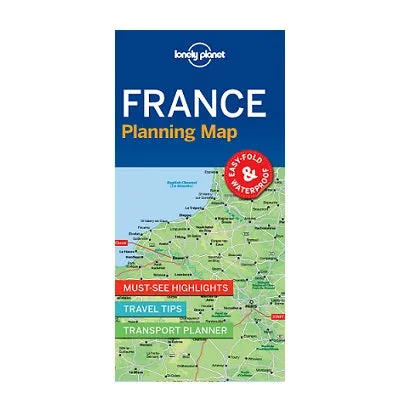
The full-colour map is durable, waterproof and conveniently sized, with a handy slipcase and easy-fold format.
Coverage Includes: Paris, Champagne, Burgundy, Loire Valley, D-Day beaches, Brittany, Normandy, Bordeaux, Dordogne, Languedoc, Pyrenees, Marseille, Provence, French Riviera, Nice, Lyon, Grenoble, French Alps, Strasbourg, Colmar, Metz
Folded map size: 95x197mm
Open map size: 635x495mm, printed on both sides


")


